
- Driving Distances, Times and Directions
- Other Newfoundland and Labrador Webcams
- Other Atlantic Canadian Webcams
- Additional Notes
Camera Locations and Highway Route Numbers
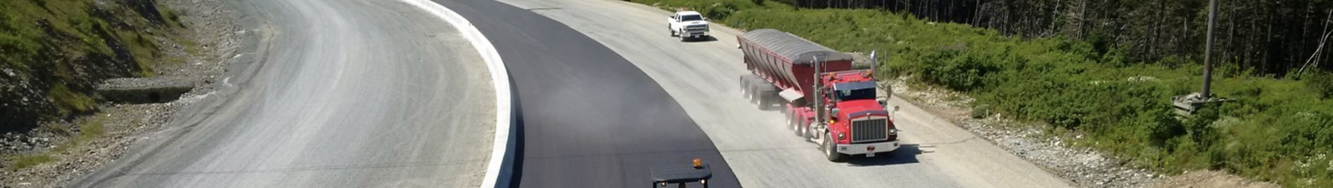
Island of Newfoundland
- Badger
- Bay Roberts
- Birchy Narrows
- Black Duck Siding
- Burgeo
- Clarenville
- Corner Brook
- Daniel’s Harbour
- Doyles
- Dunn’s River
- Dunville
- Flower’s Cove
- Foxtrap
- Gander
- Goobies
- Grand Bank
- Grand Falls – Windsor
- Harbour Breton
- Heart’s Content Barrens
- Holyrood
- Lewisporte
- Lumsden
- Paddy’s Pond
- Port au Port Peninsula
- Port aux Basques
- Port Rexton
- Port Saunders
- Pynn’s Brook
- Rocky Harbour
- Salmonier Line
- Salt Pond
- Springdale
- St. George’s
- St. Anthony
- Trepassey
- Whitbourne
- Wreckhouse (Wind Sign)
Labrador
- Cache River
- Cartwright Junction
- Chateau Pond
- Churchill Falls
- Crooks Lake
- Happy Valley Goose Bay
- L’Anse Au Loup
- Ranger Lake
- Trans Labrador Highway
- Wabush
Driving Distances, Times & Directions
Island of Newfoundland
| Travel Destination | Route | Approximate Driving Time |
Approximate Driving Distance |
|---|---|---|---|
| Clarenville to St. John’s | Route 1 | 2h | 185km |
| Gander to St. John’s | Route 1 | 3h 45min | 335km |
| Grand Falls-Windsor to St. John’s | Route 1 | 4h 45min | 423km |
| Deer Lake to St. John’s | Route 1 | 7h | 640km |
| St. Anthony to St. John’s | Route 430 and Route 1 | 12h | 1050km |
Labrador
| Travel Destination | Route | Approximate Driving Time |
|---|---|---|
| St. Barbe – Blanc Sablon (Quebec) | Ferry | 90min. |
| Blanc Sablon (Quebec) – Red Bay | Route 510 | 78 km |
| Red Bay-Mary’s Harbour | Route 510 | 65 km |
| Mary’s Harbour – St. Lewis Junction | Route 510 | 32km |
| St. Lewis Junction – Port Hope Simpson | Route 510 | 21km |
| Port Hope Simpson – Charlottetown Junction | Route 510 | 21 km |
| Charlottetown Junction – Cartwright | Route 510 | 180 km |
| Cartwright Junction – Happy Valley-Goose Bay Junction | Route 510 | 287 km |
| St. Lewis Junction – St. Lewis | Route 513 | 30km |
| Charlottetown Junction – Charlottetown | Route 514 | 29km |
| Charlottetown – Pinsent Arm | Route 511-10 | 24km |
Other Newfoundland and Labrador Webcams
Other Atlantic Canadian Webcams
Additional Notes
- The map on this page is schematic only, an abstraction, and may not necessarily provide an accurate representation of all available routes. Please refer to the official highway map for accurate distances and locations. Click the following link to order a travel guide and official highway map.
- You may also obtain driving distances and directions by visiting one of the following web sites.*
* Links from this site to other sites are presented as a convenience to users. The Government of Newfoundland and Labrador does not accept any responsibility for the content, accuracy, reliability, or currency found on external sites.