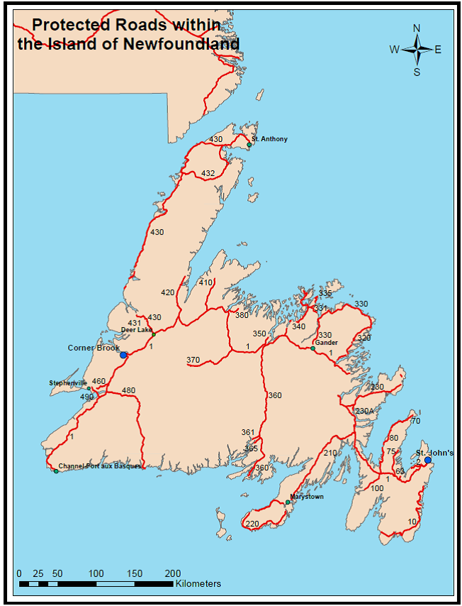
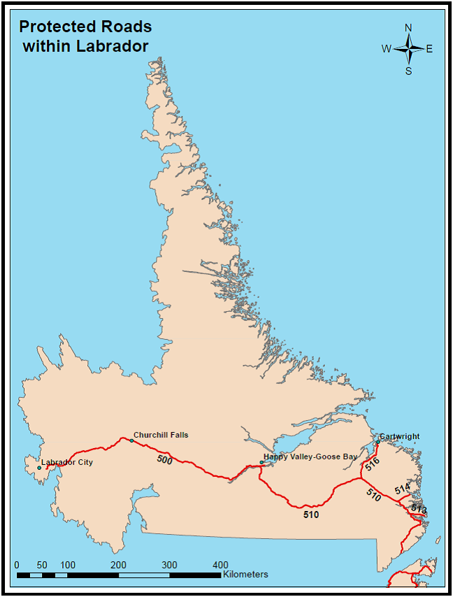
Most major and secondary highways within the province are designated as “protected roads”. Any proposed development adjacent to those highways must conform to zoning and regulations established for that area. The purpose for controlling development along highways is to ensure public safety, traffic efficiency, and provide for consistent development.
The Protected Road Zoning Regulations outline the specific requirements for development within each zone and also provide regulatory mechanisms for areas where no zoning plan exists.
The Department of Environment, Climate Change and Municipalities is the authority responsible for the regulations and the protected road plans, as well as amendments to these plans. The official documents are kept in the registry at the department.
Digital Government and Service NL is responsible for processing development applications near protected roads and information about the development application process is available at https://www.gov.nl.ca/snl/licenses/land-dev/prot-area/
By accessing the information on the preceding page you agree to the terms and conditions set forth by the above.