Aerial Photography is the process of taking photographs from a fixed wing aircraft or other flying platform such as a drone or helicopter. It is used for many purposes such as creating data to be used in a geographic information system (GIS), analysis of land forms and topography, forest inventory interpretation, 3D analysis, change detection and to identify and map man-made features.
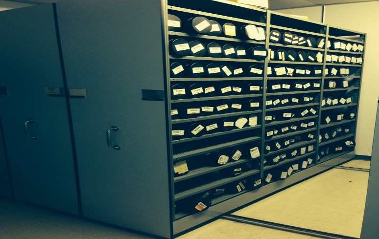
The Provincial Aerial Photography program is a program that collects, processes and distributes aerial photography for the province. The GIS and Mapping Division is the custodian of the airphoto film and photos that date back to the 1930’s.
In total there have been over 500,000 aerial photos taken of different areas of the province. Beginning in 2012 the department began scanning all of the historical film to preserve the photos in their digital form.
Since 2009 all aerial photography has only been acquired digitally. New photography is also processed into GIS ready photos for use in GIS software and analyses. Images are then mosaicked into one of 1498 10km X 10km tiles and can be viewed through the Provincial Land Use Atlas or can be purchased as GIS ready data.
To learn more about the NL Aerial Photography Program, visit the Aerial Photography section of the GIS and Mapping Division HUB.
CONTACT:
Digital Air Photo, Data and Map Sales
Email: GIS@gov.nl.ca
Photography and Map orders (Airphoto and Map Library)
Tel: 709-637-2399
Email: GIS@gov.nl.ca


