

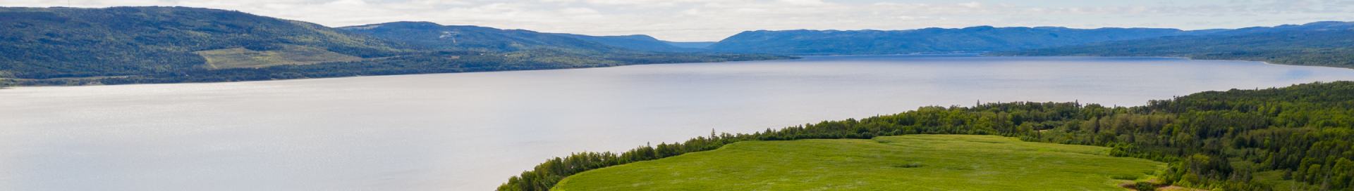
District 19 is approximately 2.27 million hectares of boreal forest situated in the area of Upper Lake Melville, Labrador. Forest Management Area (FMA) 19A is one of three subdivisions of FMA 19 in Central Labrador. FMA 19 is generally bounded to the north by the Mulligan and Red Wine Rivers, to the east by the height of land that separates the Kenamu River watershed from those flowing into the Labrador Sea, to the south by the height of land that separates the Gulf Watershed from those flowing into the Labrador Sea, and to the west by a line at longitude 61° 45′.
Forest Management Plans
- Crown Forest Management District 19A Five-Year Operating Plan (2018-2022)
- Crown Forest Management District 19A Five-Year Plan Amendment (2013-2017)
- Crown Forest Management District 19A Five-Year Operating Plan (2013-2017)
- Crown Forest Management District 19A Five-Year Plan Amendment (2008-2012)
- Crown Forest Management District 19A Five-Year Operating Plan (2008-2012)
Contact
If you have any questions or require more information you may contact: