Date: February 1, 2006
Location: Clarke’s Beach, Bay Roberts
Easting:
Northing:
Latitude: 53° 17′ 00″ W
Longitude: 47° 33′ 00″ N
Fatalities: 0
Injuries: 0
Source: VOCM web site, Compass newspaper.
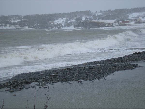
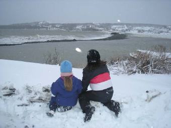
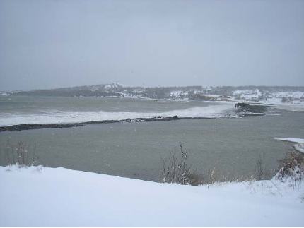
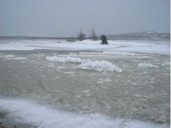
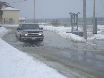
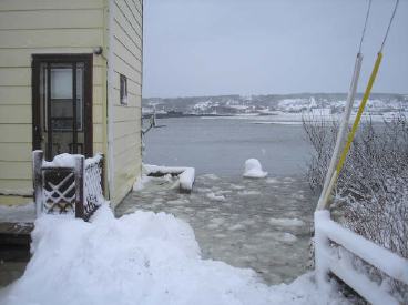
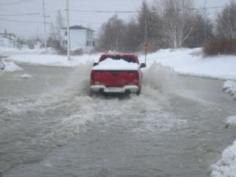
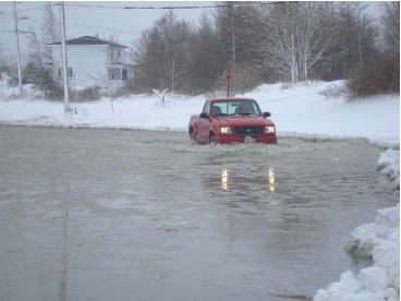
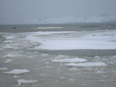
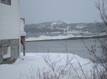
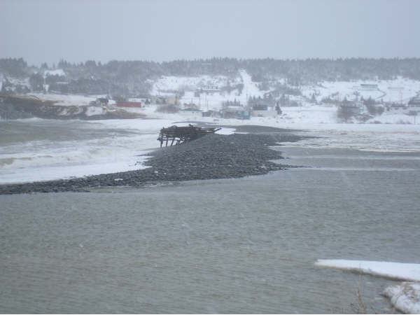
A severe storm struck southeastern on February 1 2006. High winds combined with snow resulted in blizzard conditions for 24 hours, closing many buisnesses and government offices. The persistent high winds caused a storm surge that resulted in coastal flooding in Clarke’s Beach and at Coley’s Point, Bay Roberts. At Coley’s Point the Long Beach barrier was breached for the first time in fifteen years. Several houses and a day care were in danger of flooding as water levels rose behind the beach. One house was flooded, and the road to the community closed for a period. At Clarke’s Beach, Harbour Drive was washed out by storm waves, resulting in the closure of the road; and flooding that threatened one house. The road remained closed five days later. Trepassey was also affected roads washed out by coastal flooding. Large rocks were washed onto the road at Chapel’s Cove
Photos of Coley’s Point by Diane Dale