

Date: November 18, 1929
Location: Burin Peninsula
Easting: 639500
Northing: 5210800
Latitude: 47° 00′ 00″ N
Longitude: 55° 40′ 00″ W
Fatalities: 28
Injuries: ?
Source: Western Star, Nov 27, 1929 and other sources
The Burin Peninsula has numerous communities situated at low elevations behind barrier beaches on a coast threatened by rising relative sea level. Coastal protection measures have been constructed in a number of vulnerable areas, including the site of recent Provincial Park development at Frenchman’s Cove. The vulnerability was emphasized in January 2000 when a storm surge caused extensive damage to a causeway and widespread flooding in Lamaline.
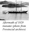
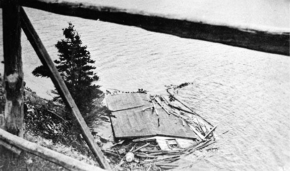
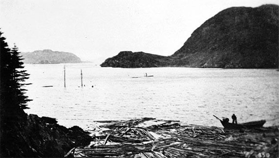
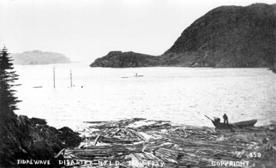
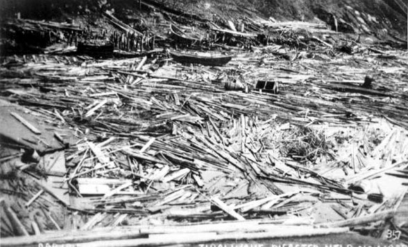
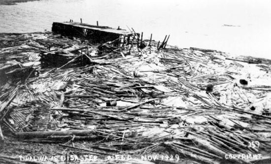
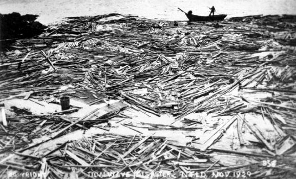
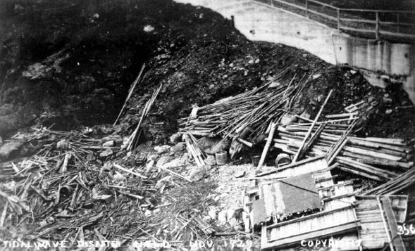
The vulnerability to flooding was graphically demonstrated by the disaster associated with the 1929 tsunami. The tsunami was produced by a large submarine landslide triggered by an earthquake on the Grand Banks that measured 7.2 on the Richter scale. The landslide displaced about 200 km3 of material down the continental slope. The effect on the ocean surface was a tsunami that radiated out from the epicentre. The tsunami was recorded in Nova Scotia and New York in the west, and Portugal in the east, but was felt most severely on the Burin Peninsula. The tsunami traveled at speeds up to about 500 km/hr through deep water, and about 140 km/hr over the continental shelf, but had slowed to about 40 km/hr upon impact with the coast. The tsunami arrived as three main pulses, causing local sea levels to rise between 3 and 7 m. Twenty-eight lives were lost on the Burin Peninsula as a result. Total damage to property was estimated at about $1 million (1929 dollars).
See also 1941 flooding that affected the Burin.
The Newfoundland Grand Banks web site has an eye-witness account, and a photograph of the damage at Port au Bras.
For more information on tsunamis we recommend the following external web sites: