Date: Apr 19, 1994
Location: Riverside Drive, Corner Brook
Easting: 434395
Northing: 5422881
Latitude: 48° 57′ 35″ N
Longitude: 57° 53′ 40″ W
Fatalities: 0
Injuries: 0
Source: Western Star April 20, 1994. Observation by Martin Batterson and Dave Taylor.
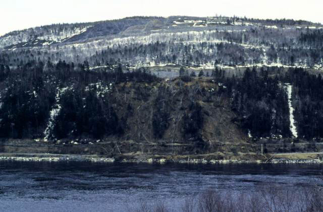
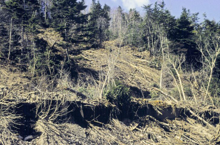
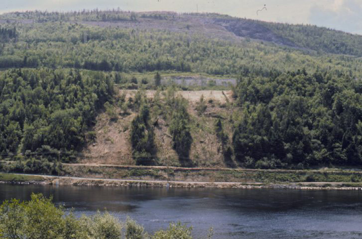
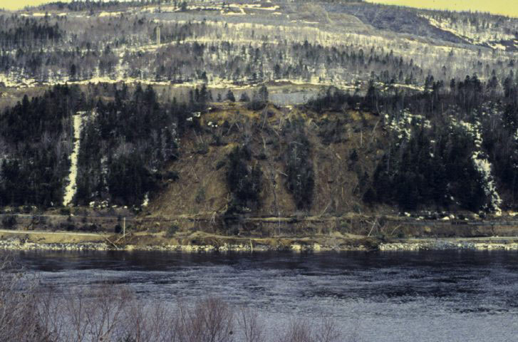
On April 19, 1994 a series of debris flows blocked Riverside Drive in Corner Brook. The slides originated on a north-facing slope where bedrock is overlain by a compact glacial diamicton, and fluvial sand and gravel. The failure occurred in the upper part of the slope along the interface between the fluvial sediments and the diamicton, while the lower slope was frozen. The cause of the debris flows was determined to be related to inadequate drainage from the newly constructed Trans Canada Highway in the area. During construction, a major drainage ditch was cut by the new highway. Following a period of intense snowmelt, water normally carried by this ditch was re-directed through the subsurface to the adjacent slopes above Riverside Drive, triggering the debris flows. No injuries resulted from the debris flows, although Riverside Drive was closed until mid-summer. Remedial measures included the construction of sealed ditches to direct water from slopes susceptible to failure. The Department of Works, Services and Transportation assumed responsibility for the debris flows and absorbed the $63,000 estimated cost of remedial measures. The area affected was about 100m long by 100m wide, and the landslide followed a period of intense snow melt.