

- Designation
- GPS Coordinates
- Elevation
- Map and Location
- Pollutants Monitored
- Air Monitoring Result Data (Near Real Time)
Designation
- Urban
GPS Coordinates
- Latitude: 52.945480
- Longitude: -66.910245
Elevation
- 558 meters
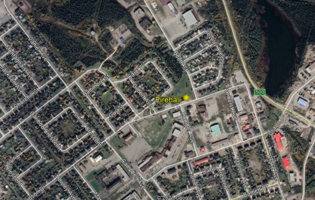
Map and Location
- Fire Hall station, Labrador City
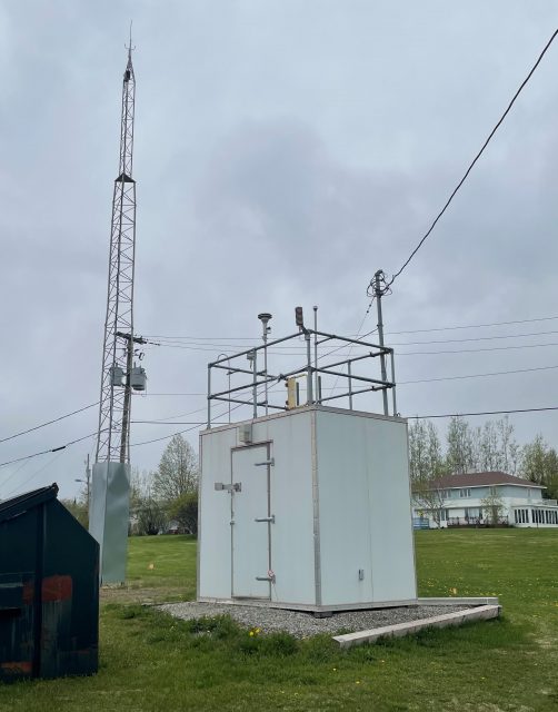
Pollutants Monitored
- PM2.5 Particulate Matter less than or equal to 2.5 microns
- TSP (or TPM) Total Suspended Particulate (or Total Particulate Matter)
- O3 Ozone
- NO Nitric Oxide
- NO2 Nitrogen Dioxide
- NOx Oxides of Nitrogen
- SO2 Sulfur Dioxide