Warning: It seems JavaScript is either disabled or not supported by your browser. Please enable JavaScript to improve your experience.
Skip to content
Designation
^ Top of Page
GPS Coordinates
- Latitude: 47.098988
- Longitude: -55.198521
^ Top of Page
Elevation
^ Top of Page
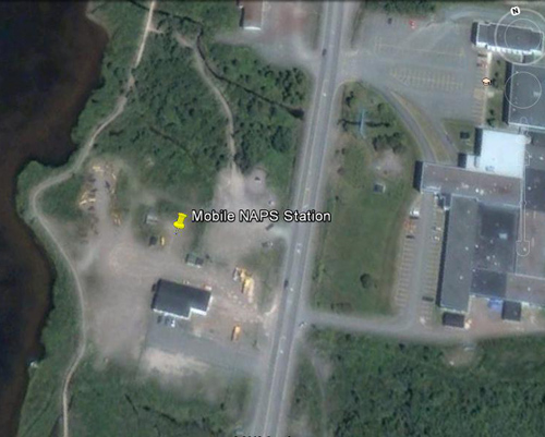
Map and Location
- Route 220, Burin, located at Dept. of Transportation and Works Salt Pond Depot.
^ Top of Page
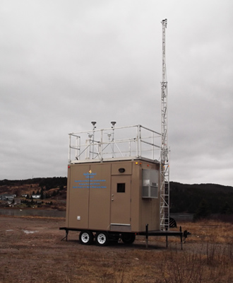
Pollutants Monitored
- PM2.5 Particulate Matter less than or equal to 2.5 microns
- PM10 Particulate Matter less than or equal to 10 microns
- O3 Ozone
- NO Nitric Oxide
- NO2 Nitrogen Dioxide
- NOx Oxides of Nitrogen
- CO Carbon Monoxide
- SO2 Sulfur Dioxide
^ Top of Page