

GIS Data are available for download in an ESRI shapefile format and a Google Earth KMZ format. These files are updated on an as-needed basis. Use of these files is subject to the disclaimer. For more detailed information, please review the attribute and metadata information associated with the files, or contact the Policy, Planning and Natural Areas Division at naturalareas@gov.nl.ca.
 Existing Protected Areas
- Provincial Protected Areas – Government of Newfoundland and Labrador
- Federal, Municipal, and Private Protected Areas and OECMs
Proposed Protected Areas
- Ten Proposed Protected Area and Publicly Nominated Sites (2023)
- Proposed Protected Areas Plan for the Island of Newfoundland Sites (2020)
Background data
Existing Protected Areas
 TITLE: Provincial Protected Areas – Government of Newfoundland and Labrador
DESCRIPTION: The protected areas of Newfoundland and Labrador under provincial jurisdiction can be divided into seven types. They are Wilderness Reserves, Ecological Reserves, Provincial Parks, Wildlife Reserves, Wildlife Parks, and Special Management Areas. These areas are reported in CPCAD and fall under one of the following pieces of legislation: Provincial Parks Act, Wilderness and Ecological Reserves Act, Wildlife Act and Lands Act.
- Zip file – ESRI shapefile format – Provincial Protected Areas NL
- Google Earth KMZ format – Provincial Protected Areas NL
Files last updated on: March 13, 2024
 TITLE: Federal, Municipal, and Private Protected Areas and OECMs
DESCRIPTION: Federal, municipal and private protected areas and Other Effective Conservation Measures are recognized by the Government of Newfoundland and Labrador and reported to the Canadian Protected and Conserved Areas Database (CPCAD). To view shape files for these sites, please visit: https://www.canada.ca/en/environment-climate-change/services/national-wildlife-areas/protected-conserved-areas-database.html.
Links last updated on: March 13, 2024
Proposed Protected Areas
 TITLE: Ten Proposed Protected Areas Plan and Publicly Nominated Sites (2023)
DESCRIPTION: In May 2023, the Department of Environment and Climate Change asked WERAC to move forward with public consultations on ten proposed sites. Priority is being placed on sites identified by the Wilderness and Ecological Reserve Advisory Council’s 2021 priority assessment. Sites include nine proposed protected areas described in the Home For Nature report (Ripple Pond; Halls Gullies; Cape Norman; Watts Point Extension; Facheaux Bay; Conne River North; Stony Lake; Rodney Pond; and Cape St. George) and a tenth site, Indian Arm Brook.
- ZIP File – ESRI Shape File Format – Ten Proposed Sites 2023
- Google Earth KMZ File Format – Ten Proposed Sites 2023
Files last updated on: December 11, 2023
TITLE: Proposed Protected Areas Plan for the Island of Newfoundland Sites (2020)
DESCRIPTION: In 2020, WERAC released the draft Protected Areas Plan for the Island of Newfoundland for public review. The plan proposed the protection of 32 areas, including 24 new protected areas, the expansion of two protected areas and the creation of six transitional reserves. The boundaries for these proposed reserves are only preliminary and may shift as we engage with communities to understand their needs and aspirations for the area’s future. More information on the proposed Protected Areas Plan and supporting consultation documentation is available at: https://www.gov.nl.ca/ecc/homefornature/protected-areas-plan-island/.
- NASP_2020_official_data_publicly_released_ESRI_Shapefile_Format
- NASP_2020_official_data_publicly_released_Google_Earth_Format
Links last updated on: March 14, 2024
Background Data
TITLE: Natural Regions of Newfoundland
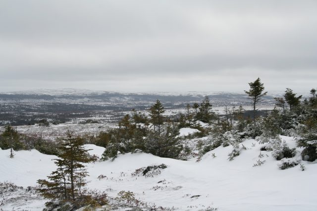
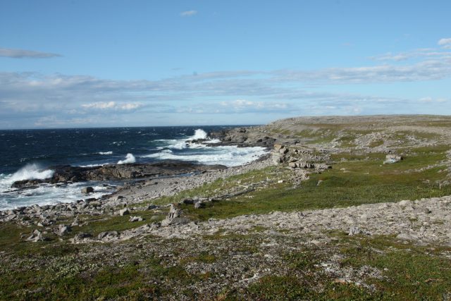
DESCRIPTION: Ecoregions are areas that have distinctive, recurring patterns of vegetation and soil development, that are determined and controlled by local climate and geology. Also called “natural regions,” ecoregions differ from each other in their combinations of plant communities, landscapes, geology, and other features. Nine ecoregions have been identified on the island of Newfoundland, thanks to the founding work of Dr. A.W.H. Damman and then Susan J. Meades. In addition, several of the Island’s ecoregions can be further broken down into 21 subregions.
Files last updated on: March 13, 2024
TITLE: Natural Regions of Labrador
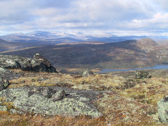
DESCRIPTION: Ecoregions are areas that have distinctive, recurring patterns of vegetation and soil development, that are determined and controlled by local climate and geology. Also called “natural regions,” ecoregions differ from each other in their combinations of plant communities, landscapes, geology, and other features. In Labrador, eleven ecoregions and 39 subregions have been identified through invaluable work of the Labrador Conservation Blueprint, as described in the Labrador Nature Atlas.
Links last updated on: March 13, 2024
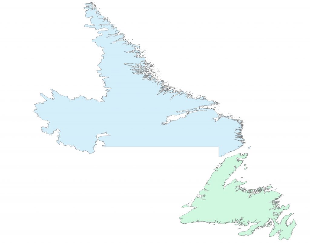
DESCRIPTION: Government of Newfoundland and Labrador has made an outline of the coastline of the province available to the public for spatial orientation and download as a shape file. For more information, please contact naturalareas@gov.nl.ca.
- NL Outline (to be added soon)
Files last updated on: March 13, 2024