Newfoundland and Labrador Protected Areas and Ecoregion Maps
^ Top of Page
Wilderness and Ecological Reserve Maps
The Natural Areas Program is working on updating maps of each of its reserves. If a map is not included here, please contact naturalareas@gov.nl.ca for more information.
^ Top of Page
Canadian Heritage River Maps
^ Top of Page
GIS Data
Topographical Map Listings
Topographical Map Listing for Wilderness and Ecological Reserves
Topographical Map Listing for Canadian Heritage Rivers
^ Top of Page
Wilderness & Ecological Reserves
Avalon Wilderness Reserve
| 1:50,000 Scale Maps |
1:250,000 Scale Maps |
| St. Catherine’s 1N03 |
St. John’s 1N |
| Holyrood 1N06 |
|
| Biscay Bay River 1K14 |
Trepassey 1K |
^ Top of Page
Baccalieu Island Ecological Reserve
| 1:50,000 Scale Maps |
1:250,000 Scale Maps |
| Bay De Verde 2C02 |
Bonavista 2C |
^ Top of Page
Bay du Nord Wilderness Reserve
| 1:50,000 Scale Maps |
1:250,000 Scale Maps |
| Tug Pond 2D01 |
Gander Lake 2D |
| Meta Pond 2D02 |
|
Mount Sylvester 2D03
Great Gull Lake 2D06
Kepenkeck Lake 2D07
Port Blandford 2D08 |
|
Hungry Grove Pond 1M14
Gisborne Lake 1M15 |
Belleoram 1M |
^ Top of Page
Burnt Cape Ecological Reserve
| 1:50,000 Scale Maps |
1:250,000 Scale Maps |
| Raleigh 2M12 |
St Anthony 2M |
^ Top of Page
Cape St. Mary’s Ecological Reserve
| 1:50,000 Scale Maps |
1:250,000 Scale Maps |
| St. Brides 1L16 |
St. Lawrence 1L |
^ Top of Page
Fortune Head Ecological Reserve
| 1:50,000 Scale Maps |
1:250,000 Scale Maps |
| Grand Bank 1M04 |
Belleoram 1M |
^ Top of Page
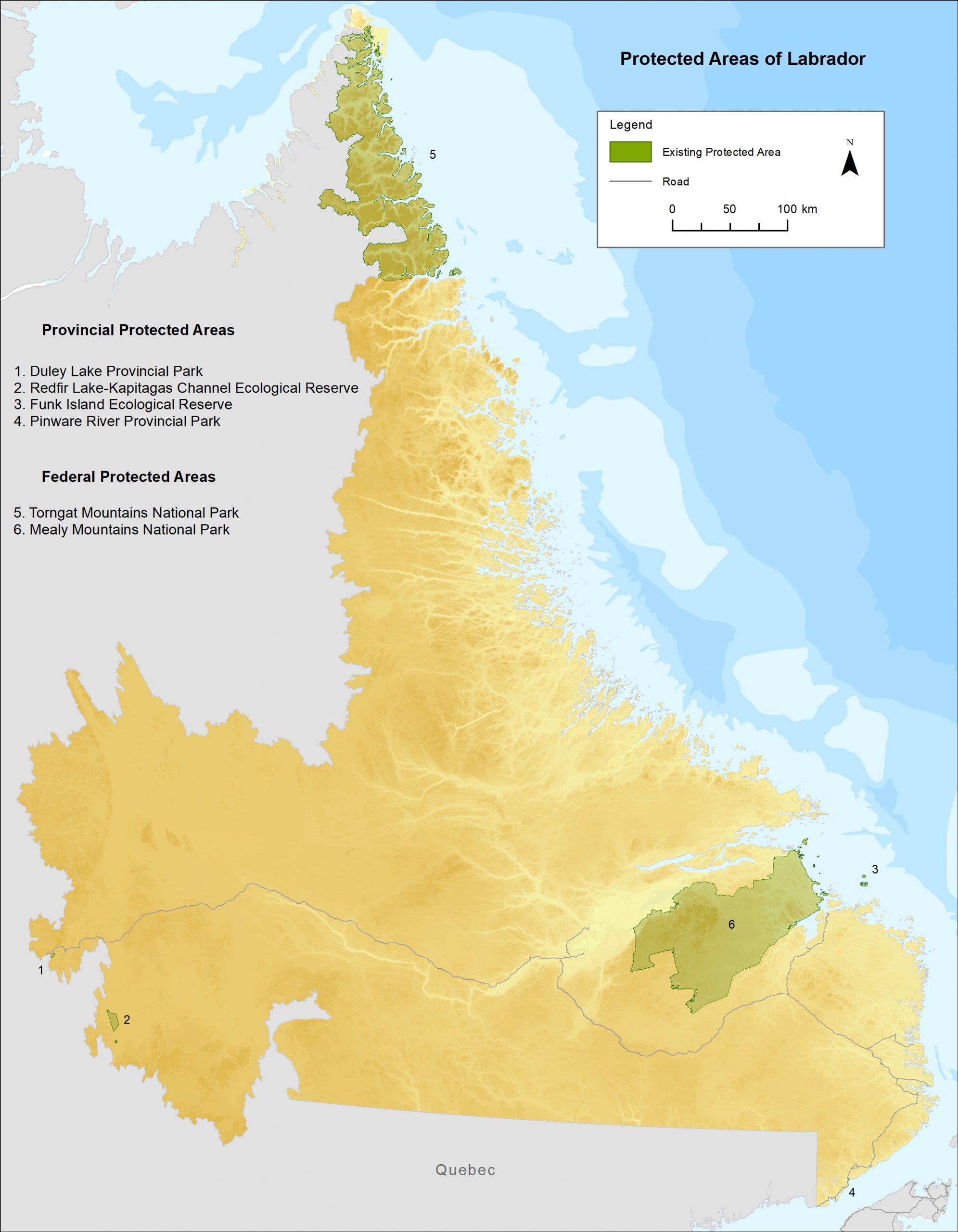
Funk Island Ecological Reserve
| 1:50,000 Scale Maps |
1:250,000 Scale Maps |
| Not Available |
Wesleyville 2F |
^ Top of Page
Gannet Islands Ecological Reserve
| 1:50,000 Scale Maps |
1:250,000 Scale Maps |
Packs Harbour 13H15
Grady Harbour 13H16 |
Cartwright 13H |
^ Top of Page
Hare Bay Islands Ecological Reserve
| 1:50,000 Scale Maps |
1:250,000 Scale Maps |
St. Julien’s 2M04
St. Anthony 2M05 |
St. Anthony 2M |
^ Top of Page
Hawke Hill Ecological Reserve
| 1:50,000 Scale Maps |
1:250,000 Scale Maps |
| Holyrood 1N06 |
St. John’s 1N |
^ Top of Page
King George IV Ecological Reserve
| 1:50,000 Scale Maps |
1:250,000 Scale Maps |
| King George IV Lake 12A04 |
Red Indian Lake 12A |
^ Top of Page
Lawn Bay Ecological Reserve
| 1:50,000 Scale Maps |
1:250,000 Scale Maps |
| Lamaline 1L13 |
St. Lawrence 1L |
^ Top of Page
Little Grand Lake Provisional Ecological Reserve
| 1:50,000 Scale Maps |
1:250,000 Scale Maps |
Puddle Pond 12A05
Star Lake 12A11
Little Grand Lake 12A12
Corner Brook 12A13 |
Red Indian Lake 12A |
^ Top of Page
Mistaken Point Ecological Reserve
| 1:50,000 Scale Maps |
1:250,000 Scale Maps |
| Trepassey 1K11 |
Trepassey 1K |
^ Top of Page
Redfir Lake – Kapitagas Channel Ecological Reserve
| 1:50,000 Scale Maps |
1:250,000 Scale Maps |
Redfir Lake 23B08
Ashauanipi Lake 23B09 |
Lac Opocopa 23B |
^ Top of Page
Sandy Cove Ecological Reserve
| 1:50,000 Scale Maps |
1:250,000 Scale Maps |
| Flower’s Cove 12P07 |
Blanc – Sablon 12P |
^ Top of Page
Table Point Ecological Reserve
| 1:50,000 Scale Maps |
1:250,000 Scale Maps |
| Bellburns 12I05 |
Port Saunders 12I |
^ Top of Page
Watts Point Ecological Reserve
| 1:50,000 Scale Maps |
1:250,000 Scale Maps |
| Eddies Cove 12P08 |
Blanc – Sablon 12P |
^ Top of Page
West Brook Ecological Reserve
| 1:50,000 Scale Maps |
1:250,000 Scale Maps |
| Springdale 12H08 |
Sandy Lake 12H |
^ Top of Page
Witless Bay Ecological Reserve
| 1:50,000 Scale Maps |
1:250,000 Scale Maps |
Ferryland 1N02
Bay Bulls 1N07 |
St. John’s 1N |
^ Top of Page
Heritage Rivers
Main River
- Silver Mountain 12H11 – (1:50,000 Scale Map)
- Main River 12H14 – (1:50,000 Scale Map)
- Jackson’s Arm 12H15 – (1:50,000 Scale Map)
- Sandy Lake 12H – (1:250,000 Scale Map)
^ Top of Page
Bay du Nord River
- Tug Pond 2D01 – (1:50,000 Scale Map)
- Meta Pond 2D02 – (1:50,000 Scale Map)
- Mount Sylvester 2D03 – (1:50,000 Scale Map)
- Great Gull Lake 2D06 – (1:50,000 Scale Map)
- Kepenkeck Lake 2D07 – (1:50,000 Scale Map)
- Port Blandford 2D08 – (1:50,000 Scale Map)
- Belleoram 1M11 – (1:50,000 Scale Map)
- Hungry Grove Pond 1M14 – (1:50,000 Scale Map)
- Gisborne Lake 1M15 – (1:50,000 Scale Map)
- Gander Lake 2D – (1:250,000 Scale Map)
- Belleoram 1M – (1:250,000 Scale Map)
^ Top of Page
Contact Information for Topographical Maps
Topographical maps are available from GIS and Mapping Section within the Department of Fisheries, Forestry and Agriculture:
^ Top of Page
Adobe® Acrobat® Reader software can be used for viewing PDF documents. Download Acrobat® Reader for free.

